
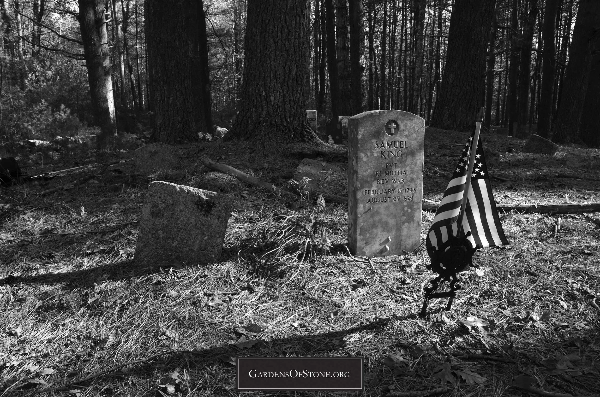
Magdelen King Lot
West Greenwich, Rhode Island
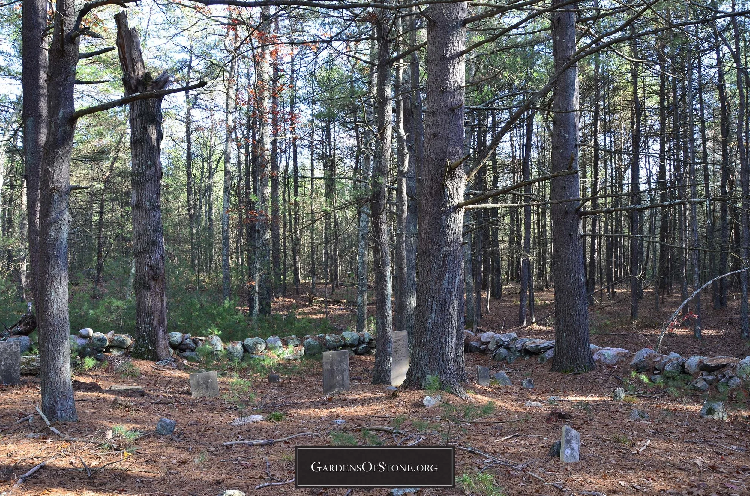
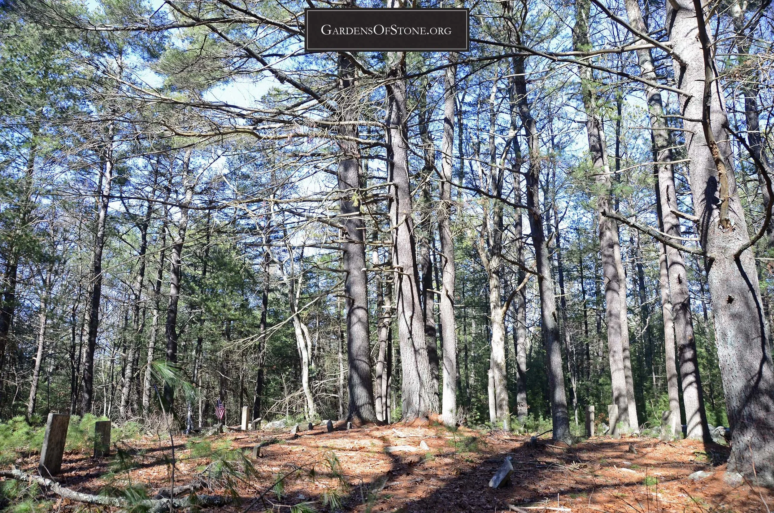
Historical Cemetery No. 37


Surnames:
Bromley; H[oward]; Howard; K[ing]; King
42 burials with 25 inscriptions, 14 proper and 11 rude, from 1775 through 1870
GPS coordinates: N 41 38'58.11" x W 71 34'5.43" (click HERE to view in Google Maps)
Located 550 feet South of Division Road, mid-way between N.E.Co. Pole No.'s 246-1 and 244-1
75 feet x 65 feet, protected by stone wall; historical cemetery sign in place
Walking Directions:
Begin at public access parking on south side of Division Road, mid-way between N.E.Co. Pole No.'s 246-1 and 244-1, GPS coordinates N 41 39'3.69" x W 71 34'5.71". Follow trail on south side of parking area south-southeast for 550 feet to first intersection, then turn right (west), proceeding 225 feet west along secondary trail till arriving at cemetery on right (north) side of trail at GPS coordinates N 41 38'58.1" x W 71 34'5.43".
Diagram
Click diagram to view fullscreen, or here HERE to open in new tab/window
Transcriptions Gallery
Simply click on the burial you wish to view to see fullscreen, or scroll through them to view in order by burial number, as indicated on the diagram above


* Indicates a previously unrecorded burial