
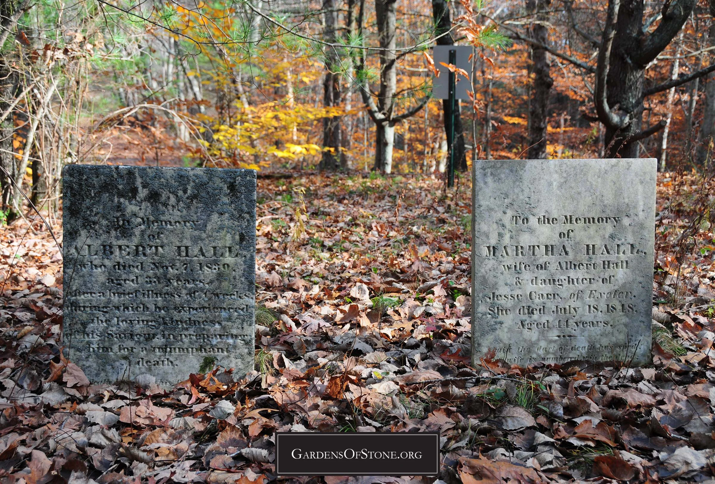
Preserved Hall Lot
West Greenwich, Rhode Island
Historical Cemetery No. 23


Surnames:
Culver; Green; H[all]; Hall
28 burials with 28 inscriptions, 26 proper and 2 rude, from 1763 through 1882
GPS Coordinates: N 41 37'37.8" x W 71 38'6.4" (click HERE to view in Google Maps)
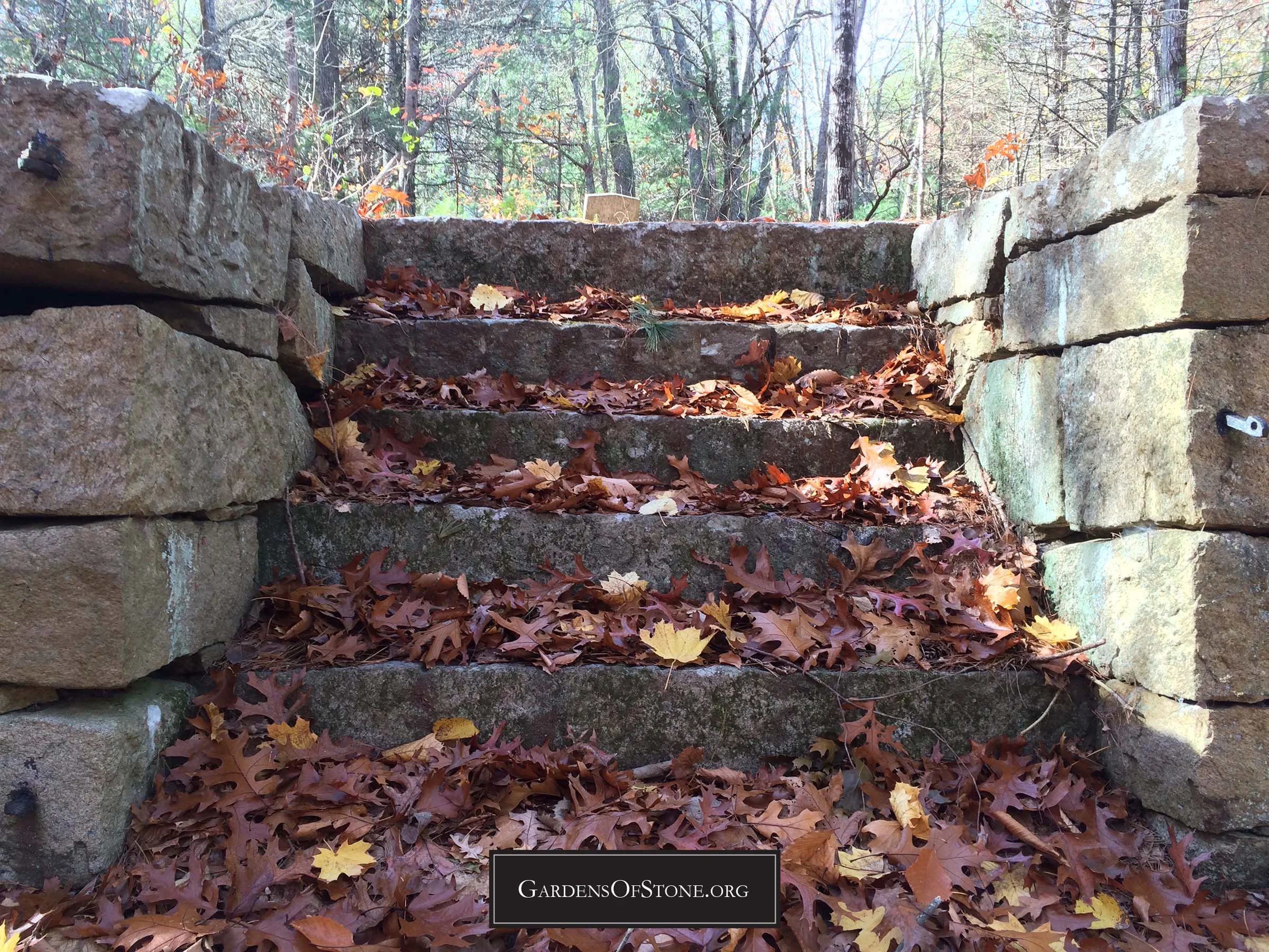
Located 300 feet West of Nooseneck Hill Road/Route 3 at Nooseneck Hollow Bridge No. 36
60 feet x 100 feet, protected by stone wall; historical cemetery sign in place
Walking Directions:
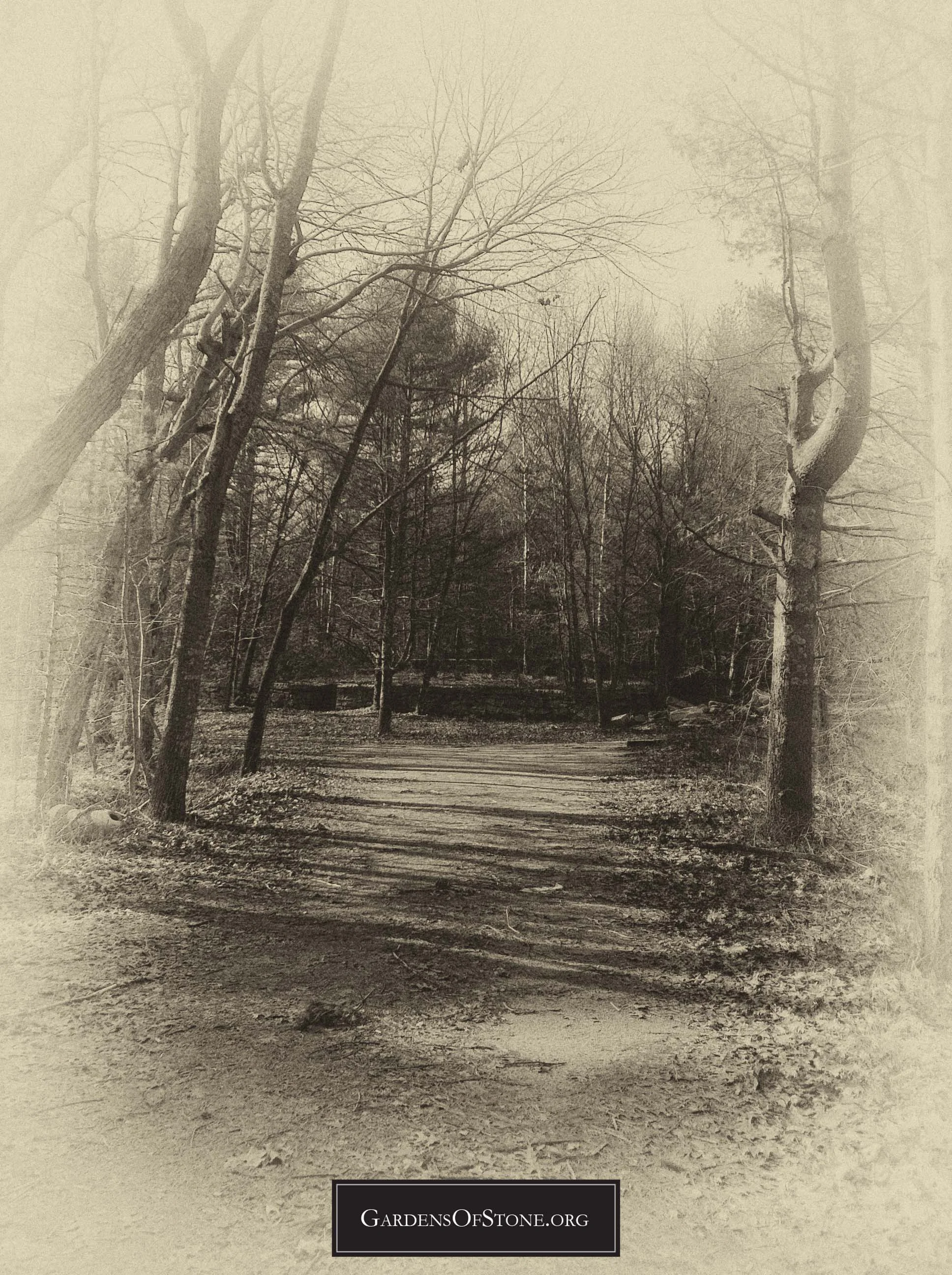
Begin at public access parking on west side of Nooseneck Hill Road/Route 3 at Nooseneck Hollow Bridge No. 36, GPS coordinates N 41 37'37.21" x W 71 37'58.19". Proceed 350 feet west down dirt road, curving slightly to the left (south), till arriving at cemetery at N 41 37'37.8" x W 71 38'6.4" on right (west) side of road.
Diagram
Click diagram to view fullscreen, or here HERE to open in new tab/window
Transcriptions Gallery
Simply click on the burial you wish to view to see fullscreen, or scroll through them to view in order by burial number, as indicated on the diagram above


![( 25 ) S. H[all]](https://images.squarespace-cdn.com/content/v1/58caaf051b631b18af89bfcc/1687438598138-W6OLI5HMVHSUD1XMZOLF/WG023-25-SH-Transcription.jpg)


* Previously unrecorded