
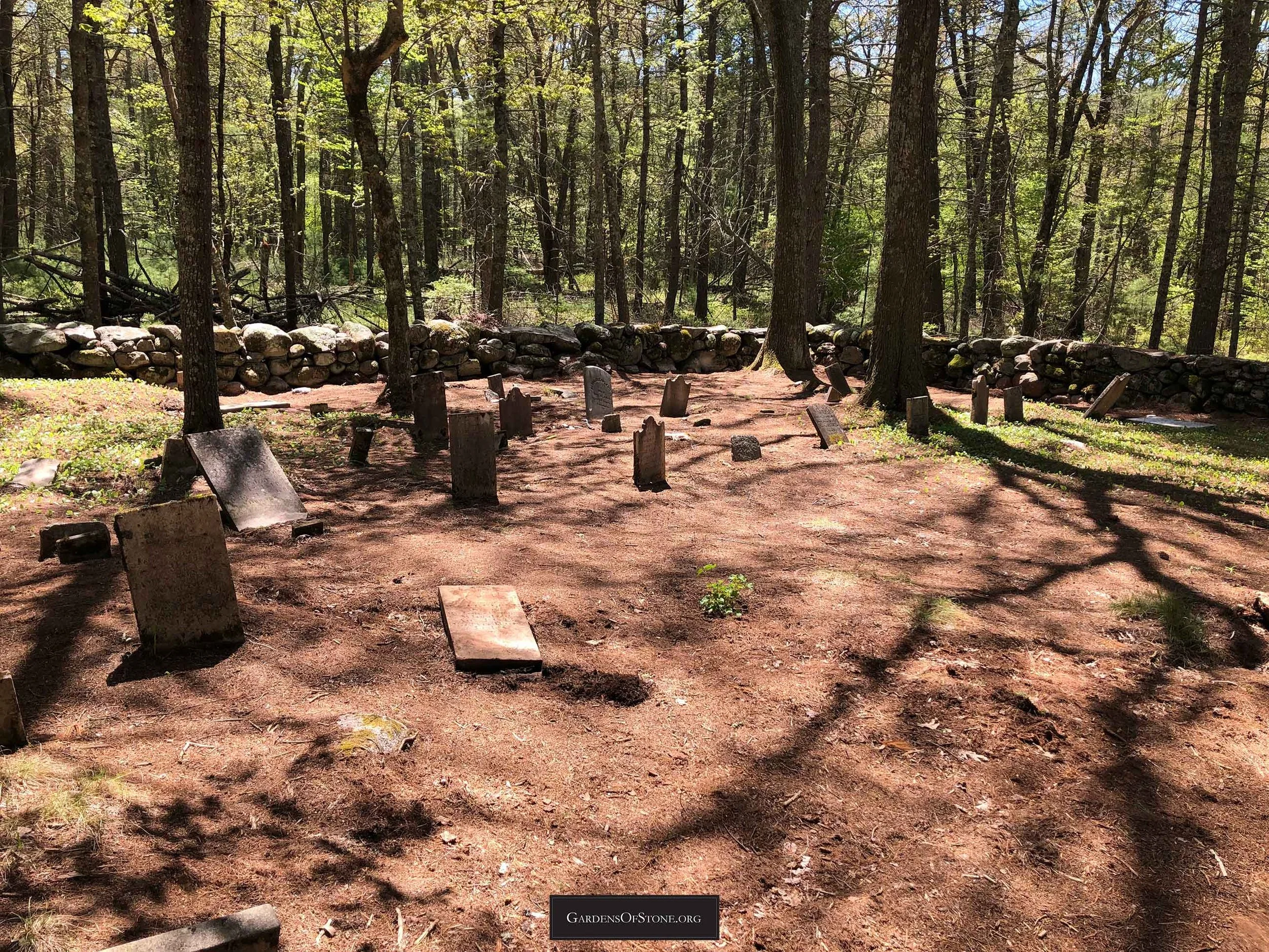
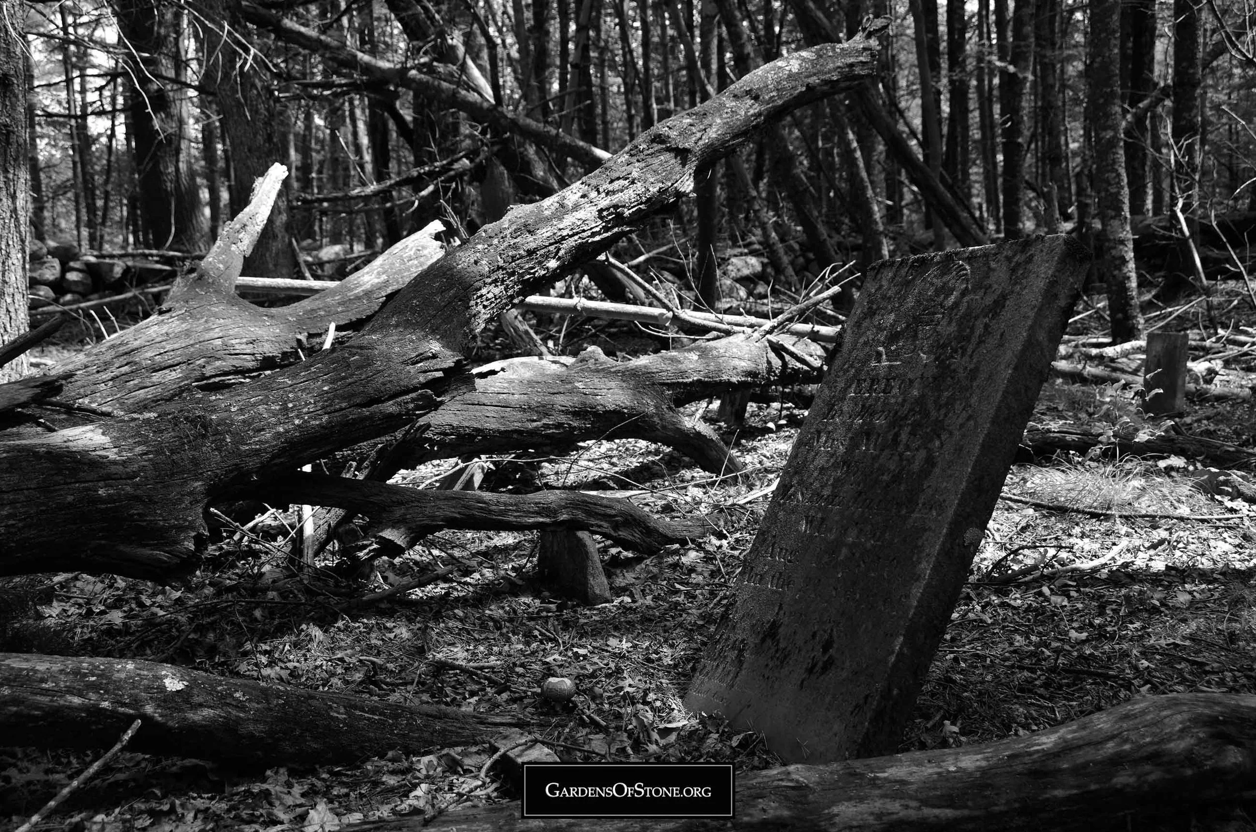
Niles/Nichols/Congdon Lot
West Greenwich, Rhode Island
Historical Cemetery No. 54


Surnames:
C. / Cleavland / Congdon / Essex / N. / Nichols / Tillinghast
66 burials with 34 inscriptions, 29 proper and 5 rude, from 1763 through 1863
GPS coordinates: 41.61314, -71.61585 (click HERE to view in Google Maps)
Located 625 feet Southeast of Sweet Sawmill Road
100 feet x 70 feet, protected by stone wall; historical cemetery sign in place
Walking Directions:
Begin at parking area at intersection of Congdon Mill Road and Sweet Sawmill Road, GPS coordinates 41.61188, -71.62208. Follow Sweet Sawmill Road northeast for 1,725 feet till arriving at corner of field on right/southern side of road, GPS coordinates 41.61463, -71.61698. Turn right/south into field, then follow is southern edge 375 feet to field’s southeast corner to GPS coordinates 41.61385, -71.61610. Cemetery is in the woods 180 feet south of here at 41.61314, -71.61585.
Diagram
Click diagram to view fullscreen, or here HERE to open in new tab/window
Transcriptions Gallery
Simply click on the burial you wish to view to see fullscreen, or scroll through them to view in order by burial number, as indicated on the diagram above


